433 LINCOLN ST
Owner Information
ROWE HOLLY
433 LINCOLN ST
STOUGHTON, MA 02072


Property Details
433 LINCOLN ST is classified as a Single Family Residential (Ranch).
The primary structure on this property was built in 1980. There are 2,844ft2 of built area within this property. There is 2,844ft2 of residential/living space within this property.
433 LINCOLN ST is valued at $475,100. The land is valued at $207,200 and the structures are valued at $257,000. There is an additional valuation of $10,900 on this property.
This property is in Zone RB. Confirm with local Zoning Board authorities to ensure there are no overlays or other easements on this property.
The most recent deed for 433 LINCOLN ST is recorded at the local registrar in Book 39563, Page 467. 433 LINCOLN ST was last sold on Monday, June 28, 2021 for $650,000.
Assessment data from fiscal year 2022.
Flood Data
According to the FEMA National Flood Hazard Layer, this property does not appear to be in a flood zone. It may also be in an area not yet reviewed. Nonetheless, confirm this information prior to taking any action.
To view the flood hazards around this property, create a FEMA "Firmette" Map of the area around 433 LINCOLN ST.
Broadband Internet Providers
| Provider | Type | Bandwidth (mbps) | |
|---|---|---|---|
| Viasat Inc | Satellite | 100 | 3 |
| Verizon New England Inc. | DSL | 5 | 0 |
| Verizon New England Inc. | Fiber | 940 | 880 |
| Comcast | Cable | 1000 | 35 |
| GCI Communication Corp. | Satellite | 0 | 0 |
| HughesNet | Satellite | 25 | 3 |
| VSAT Systems, LLC. | Satellite | 2 | 1 |
| Crown Castle Fiber | Fiber | 0 | 0 |
Broadband service provider data from December 2020.
Adjacent Properties
- 455 LINCOLN ST
Single Family Residential owned by ILACQUA ANTHONY - 441 LINCOLN ST
Single Family Residential owned by MOONEY KEVIN E - 425 LINCOLN ST
Single Family Residential owned by ROSS BENJAMIN F JR - 415 LINCOLN ST
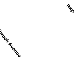
Single Family Residential owned by STRUNK KORI L - 28 RAYMOND RD
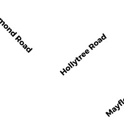
Single Family Residential owned by SLADE JOHN E - 73 HOLLYTREE RD
Single Family Residential owned by LEMAN CHRISTOPHER D - 87 HOLLYTREE RD
Single Family Residential owned by NELLOS-GOMES JO-ANN TRUSTEE - 48 RAYMOND RD
Single Family Residential owned by SNYDERMAN JON E - 38 RAYMOND RD
Single Family Residential owned by VERTUS JOTHSON